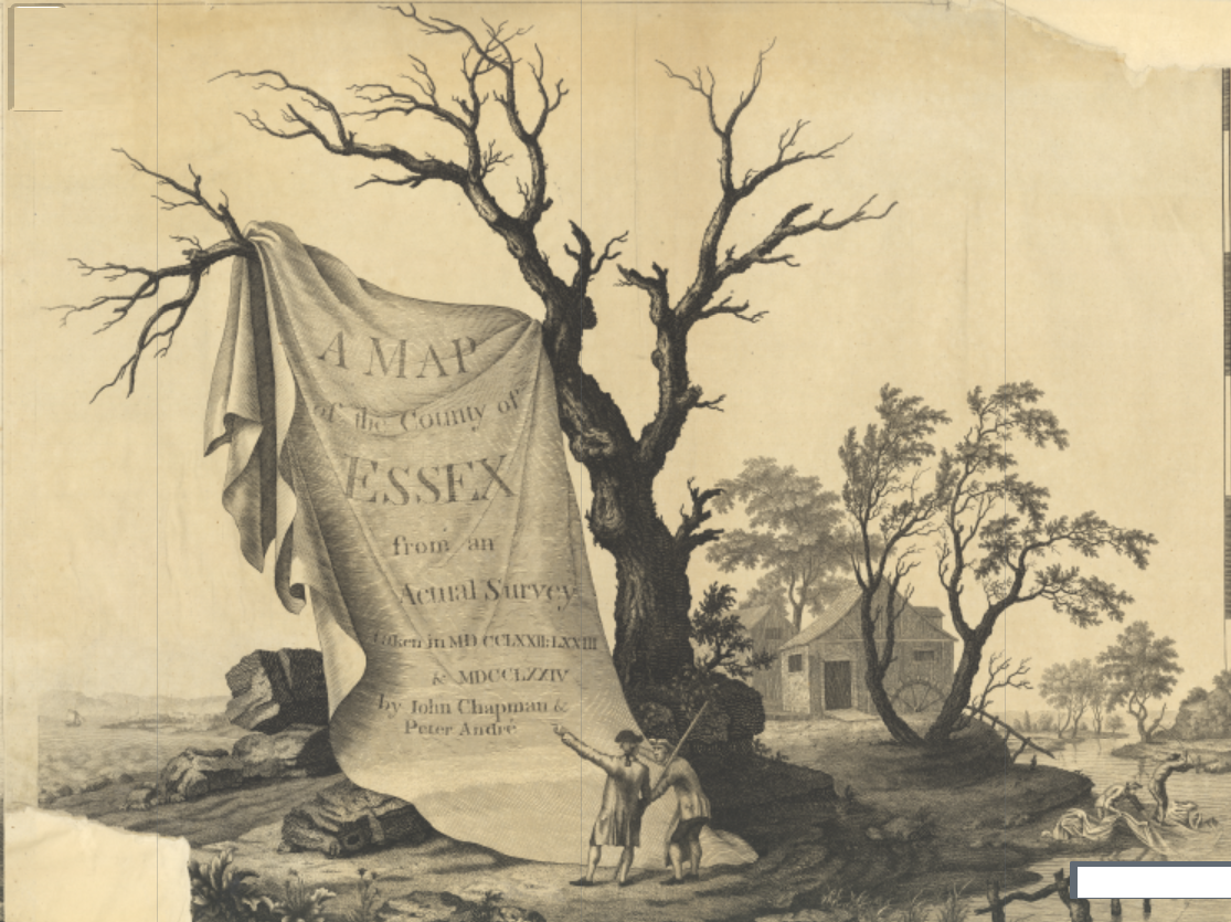
Chapman & Andre Essex 1777
Having incorporating many maps on this website the Chapman and Andre map of 1777 is useful in illustrating the position of various places in the area.

The map is apparently free for anyone to use according to the map-of-essex.uk website.
What the map-of-essex.uk says:
As tempusfugit.me.uk is a non-commercial website I am loath to place a link to the maps on this page (although one does exist) - my fear is that once you go there you will have so much fun poking around you will forget to return here.
Belchamp Walter and surrounding area
The emphasis for this website is to feature information on Belchamp Walter. The map below is an example.

Many other pages will feature these maps. The date of 1777 is similar to the founding of the Ordnance Survey (1791) but pre-dates their efforts.
Other pages on this website will feature extracts from the 1777 map and these include: Borley, Mary Hall, Belchamp Walter, Faulkbourne Hall
Wood Hall, Sudbury, Suffolk
The ancient manor of Wood Hall is now seperated from St. Bartholomew's Chapel and Priory by the A131. Woodhall primary school is also on the South West of the highway and the Tesco supermarket and Woodhall industrial area on the North East.